


















While much is known about the potential of flooding in low-lying islands in the Pacific, it’s one thing to read predictions and another to see the effects of serious flooding.
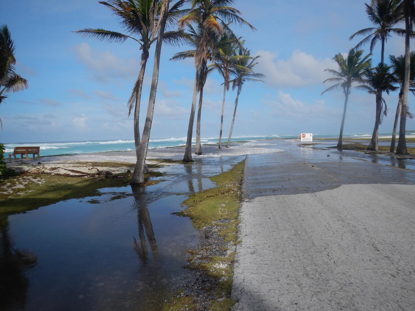
U.S. Army Garrison facilities on Roi-Namur in the Kwajalein atoll chain were flooded at about 9 p.m. on Jan. 20, according to its Facebook page.
“Last night a series of weather-driven waves resulted in significant ocean water inundation on Roi-Namur,” Col. Andrew Morgan, commander of the garrison; posted on Jan. 21.
“Initial indications are all personnel are accounted for,” he said. Staff in Kwajalein are “triple checking,” he said. Personnel suffered minor injuries, but residents living on the nearby island of Enniburr were not affected by flooding.
“We have launched the catamaran to retrieve Roi residents and leave only a small team of experts to assess damage and begin the process of restoring essential services,” Morgan said.
Roi-Namur houses about 120 American and Marshallese employees of the Ronald Reagan Ballistic Missile Defense Test Site. According to the post, water inundation washed over the northwest side of the island, flooding at least one third of it. “There is standing water on both sides of the north end of the runway and first floors of all but two [bachelor’s quarters,” Morgan said. Flooded buildings included the dining facility, the shoppette and the automotive warehouse area in the causeway portion of the island.
“We are currently planning to relocate all Roi residents to [Kwajalein] until we assess damage and restore services,” a Jan. 21 update said.
A video circulating showed water gushing into a building occupied by personnel, but since the Journal could not verify its origin, the paper has not posted the video. Aerial footage posted by the garrison on its Facebook page shows the extent of the Jan. 20 flooding.
Roi-Namur lies at the northernmost tip of the Kwajalein chain. The island served as a test case for research by the U.S. Geological Survey, the National Oceanographic and Atmospheric Administration and the University of Hawaii, on flooding of U.S. military facilities in the Pacific. Results were published results in 2018. The island has seen previous flooding.
“Sea level in the western Pacific Ocean has been increasing at a rate [two to three] times the global average,” the 2018 report said.
Most Marshallese citizens working on Kwajalein live on Ebeye, three miles north of Kwajalein. Residents in Majuro are watching the scenario carefully for further flooding. mbj
Flooding affects residents and island military installation
Flooding affects residents and island military installation
- Date Posted: Jan 21, 2024
- News: Marshall Islands
-
Share this News
Flooding affects residents and island military installation
Recommended Articles...
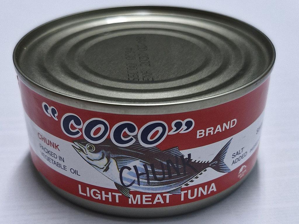
Counterfeit seafood products flood retail market in Majuro
MAJURO, Marshall Islands — In the 1980s and 1990s, when the world listened to music on vinyl records and later CDs and DVDs, there was a huge “underground” illegal industry that produced and sold what were known as “bootlegged” copies of the music of popular artists. In September, Majuro was hit with a flood of counterfeit food products, showing how the bootleg industry shifts over time.
Read More 
Marshall Islands OCIT launches new visitor resource, regional tourism updates
The Marshall Islands Office of Commerce, Investment, and Tourism launched the Marshall Islands Pocket Guide in partnership with the South Pacific Pocket Guide.
Read More 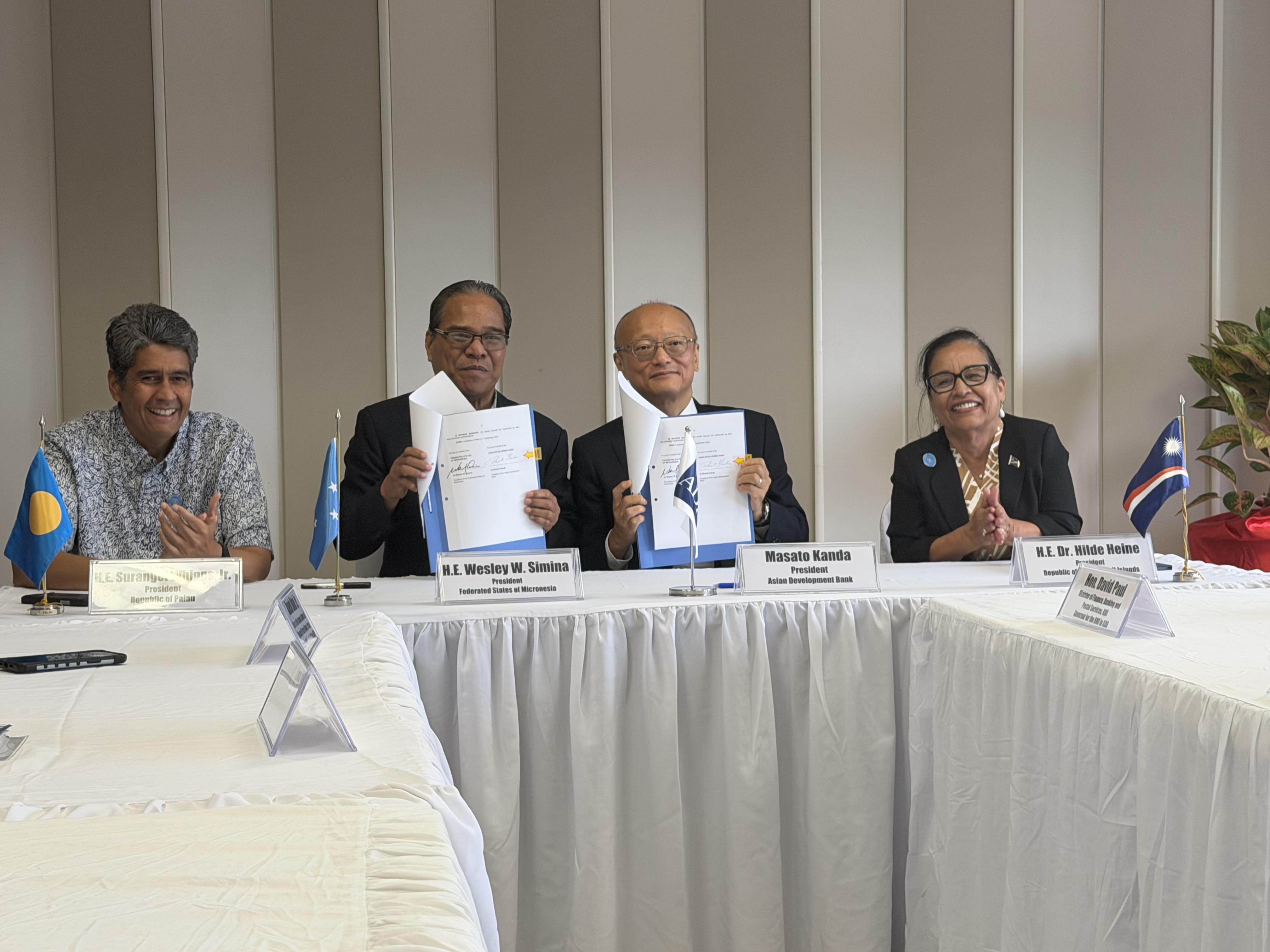
ADB, U.S. and Australia announce major funding pledges on sidelines of 55th Pacific Islands Forum
Leaders and officials converged here this week on the margins of the 55th Pacific Islands Forum Leaders Meeting, announcing a series of financial commitments aimed at bolstering the region’s fiscal stability, energy security and border security.
Read More 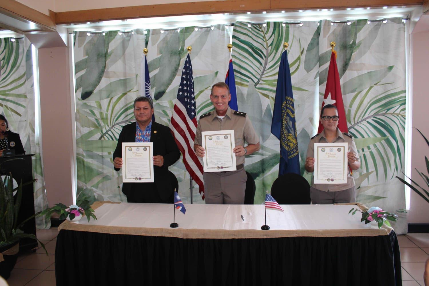
Marshall Islands signs agreement for National Guard State Partnership
The Marshall Islands joined with National Guard leaders from Guam and the state of Nebraska in Majuro on Aug. 25 to sign the first State Partnership Program agreement, becoming one of a handful of countries globally to partner with two National Guard units.
Read More