Weather Service: Significant hit to the island today
Weather Service: Significant hit to the island today Typhoon Mawar loses “super” status but Guam can still expect strong winds
Government agencies, schools and businesses are hunkering down in Guam and the Northern Mariana Islands as Super Typhoon Mawar heads for the Mariana Islands. With Mawar expected to intensify, the islands are expecting to see typhoon force winds on May 24 CHamoru Standard Time. Torrential rainfall is likely as Mawar passes, with rainfall amounts of 8 to 15 inches possible and flooding of coastal and low-lying areas expected.
While still a strong storm, Mawar has lost some of its wind strength leading to its downgrade from a Category 5 to a Category 4, Landon Aydlett, Warning Coordination Meteorologist says they expect a “significant hit to the island today.” Winds of 150 miles per hour are expected by mid-afternoon of May 24, with gusts of 195 miles per hour. The closest point of approach is currently estimated at around 4 p.m. on May 24.
Presidential emergency declarations were declared on May 23 for Guam and the NMI, and a Red Cross group arrived May 23 on Guam, according to the Guam Chapter of the Red Cross.
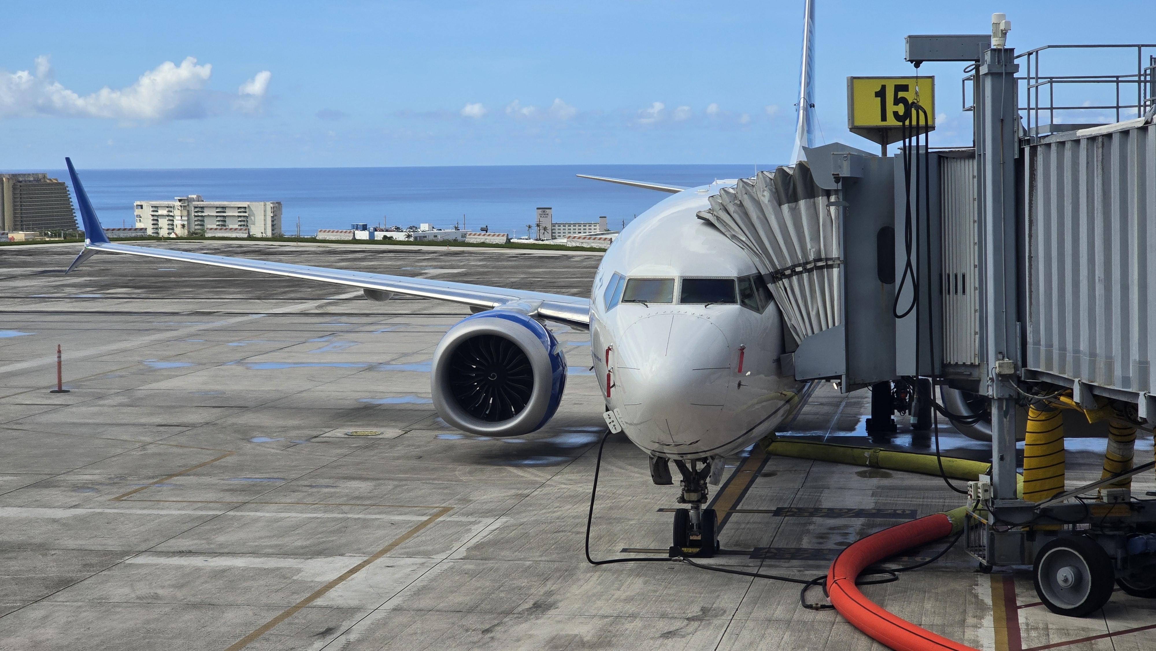
The last flight – a United Airlines flight left the A.B. Won Pat International Airport in Guam at 12.30 p.m. on May 23.
The Guam National Guard will be on duty when the Island returns to Condition of Readiness 4, after the typhoon passes.
Gas stations, supermarkets and home improvement stores saw significant business as businesses and residents prepared, with schools and colleges closed, and shelters opening.
The last Super Typhoon to hit Guam was Super Typhoon Pongsona, which hit Guam on Dec. 8, 2002. Super Typhoon Yutu hit Saipan and Tinian in the Northern Mariana Islands on Oct. 25, 2018.
The Philippines, Yap and Palau are also watching the path of the typhoon.
If there was an overarching message from David Kinzelman, chief customer officer and senior vice president for airport operations, during his visit, it was that the region is not only important to the airline, but that its customers receive the same attention as anywhere else in the United network.
Leaders and officials converged here this week on the margins of the 55th Pacific Islands Forum Leaders Meeting, announcing a series of financial commitments aimed at bolstering the region’s fiscal stability, energy security and border security.